
Mining Mapping
Aeroquest Mapcon has been actively involved in providing aerial mapping services for mining companies for established and prospective mine sites. These projects are frequently located in remote wilderness locations with snow free flight conditions typically occurring later in the year due to the higher latitudes where the mine sites are often located.
In addition to orthophoto and LiDAR services, Aeroquest Mapcon also offers airborne geophysical surveys including airborne magnetic surveys, airborne radiometric surveys, airborne gravity surveys, and airborne electromagnetic surveys in the exploration for base and precious metals, kimberlites, hydrocarbons, uranium, and groundwater. More information about these services can be found on our Airborne Geophysical Surveys page.
Project Examples
Northern BC Mining Project
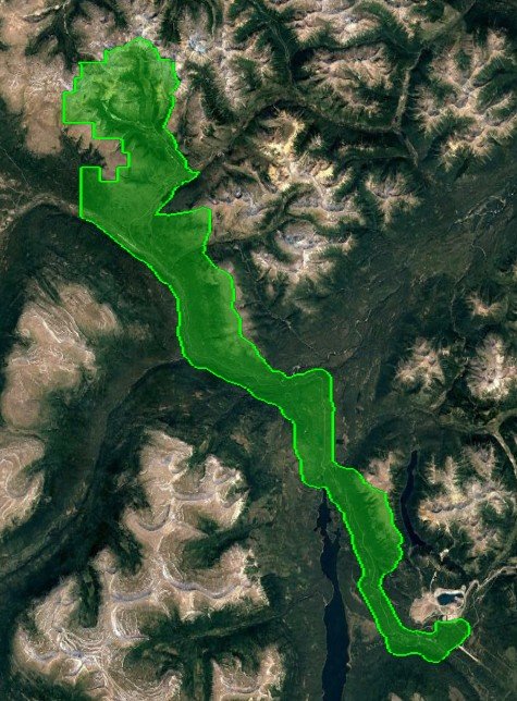
Area: 155km² located in northern BC.
Acquisition: 8ppm² LiDAR flown during summer leaf-on conditions
Deliverables: The LiDAR was classified to bare earth and a 1m DEM was generated. Existing ground control was used to verify the LiDAR accuracy to ±10cm Z RMSE on hard flat surfaces.
Northern Mexico Mining Project
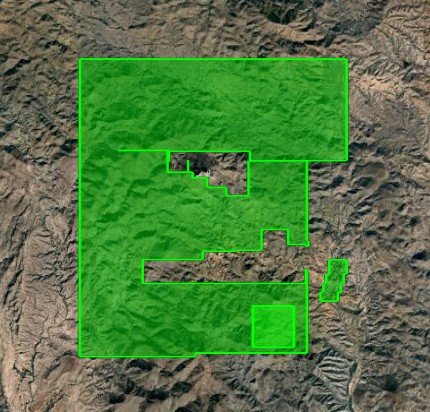
Areas: 73km² located in northern Mexico.
Acquisition: 8ppm² LiDAR and 10cm aerial photography flown in February.
Deliverables: 8ppm² LiDAR classified to bare earth and 10cm 3-band (RGB) orthophotography. Ground control was not surveyed, with primary control coming from the onboard AGPS / IMU captured during acquisition. LiDAR accuracy is approximately 10cm RMSE (Z) and 30cm RMSE (XY), with the orthophoto accuracy also being 30cm RMSE (XY).
Central Quebec Mining Project
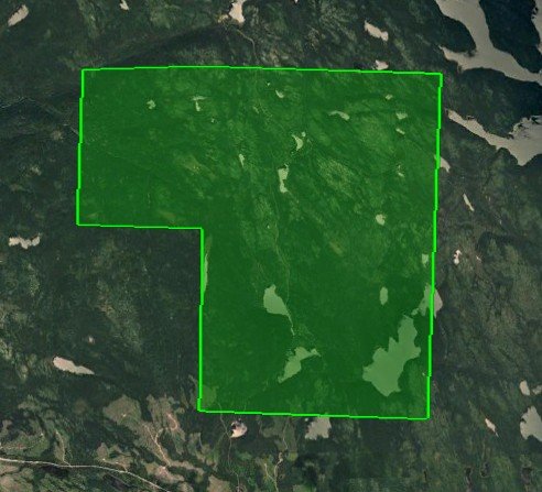
Area: Two project areas in central Quebec covering a total area of 77km².
Acquisition: 16ppm² LiDAR and 30cm MAXAR WorldView satellite imagery was captured during spring / summer seasons.
Deliverables: LiDAR classified to bare earth and water, 30cm satellite orthophotography, and 1m contours. LiDAR was primarily controlled by onboard AGPS / IMU data resulting in ±15cm vertical accuracy on hard flat surfaces, and the orthophotography was primarily controlled by the satellite ephemeris data and LiDAR intensity images, resulting in an accuracy of approximately ±60cm RMSE (2x pixel GSD).