
Orthophotography Project Samples
High Resolution Orthophotography from Aircraft
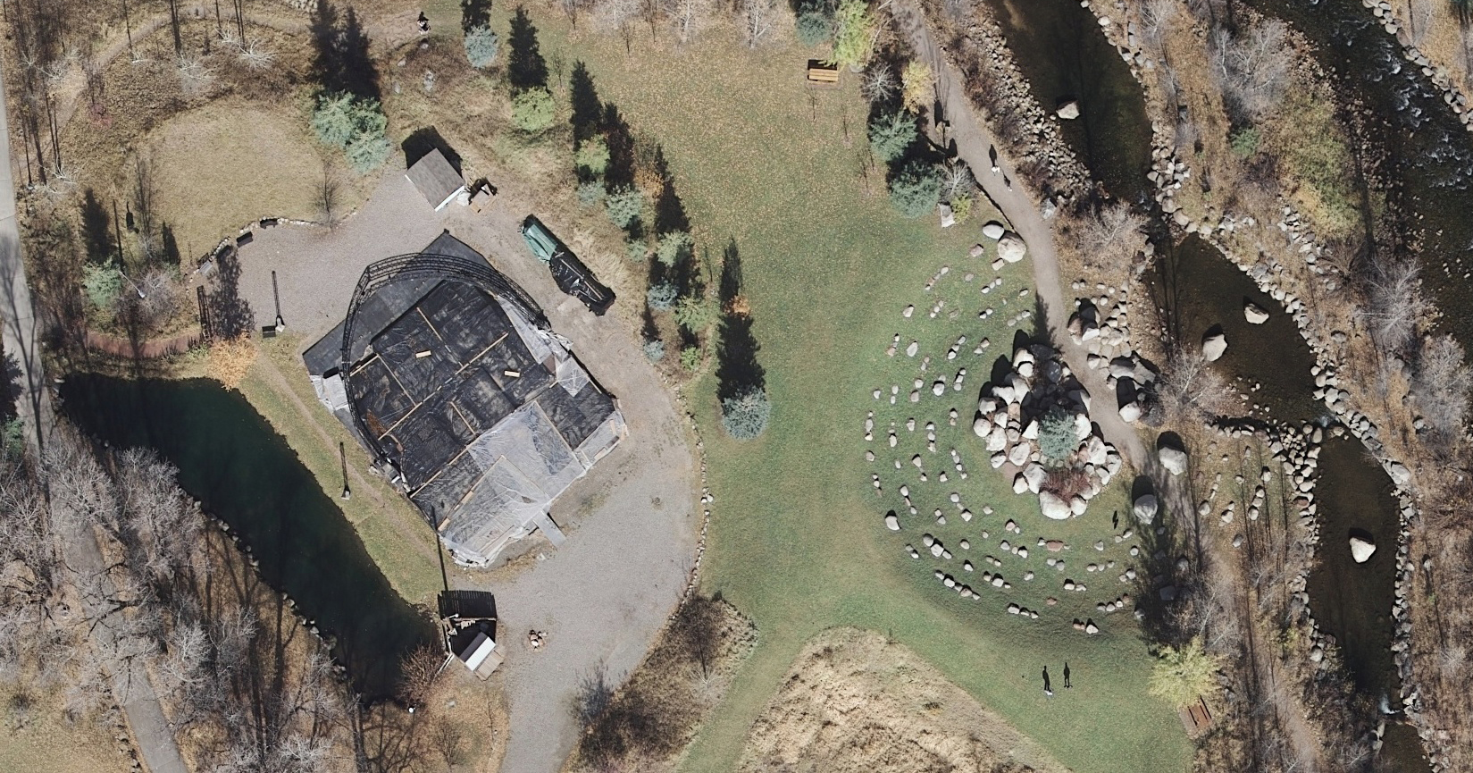
Aeroquest Mapcon was contracted to provide 5 cm pixel resolution color orthophotography and high density LiDAR (20 ppm²) for area covering 147 km².
Captured early spring for leaf-off conditions
Horizontal accuracy of 12.5 cm RMSE (x,y)
LiDAR vertical accuracy of 10 cm RMSE in non-vegetated areas
4-band (R,G,B,NiR) orthophotography
43 ground control points and 30 check points were acquired to maintain and check data accuracy.
Large Area Orthophotography from Aircraft
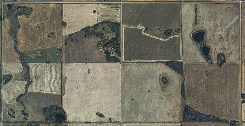
Aeroquest Mapcon was contracted over a 5 year period to provide orthophotography from an aircraft platform for 591,670 km² with 62.5 cm pixel resolution imagery.
The remote nature of the project and lack of existing ground control required a reliance on Airborne GPS and IMU for model generation.
DEM was collected photogrammetrically in the form of mass points and breaklines to support the production of orthophotography.
Both color and near infrared imagery was delivered.
Natural Color Orthophotography from Satellite
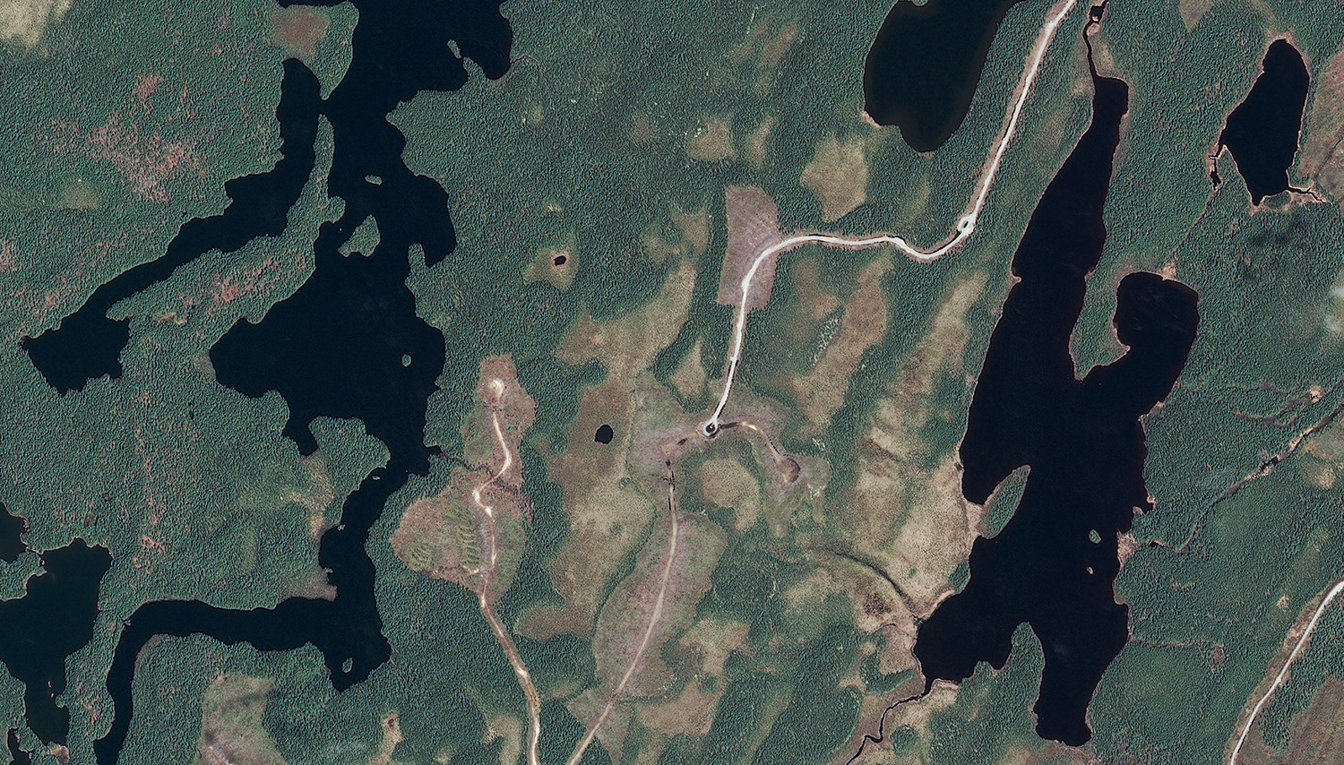
Aeroquest Mapcon was contracted to provide orthorectified satellite imagery for approximately 265 km² in eastern Canada
50 cm pixel, 3-band (RGB) image
Pleiades satellite
Natural Color, Near Infrared, NDVI Orthophotography
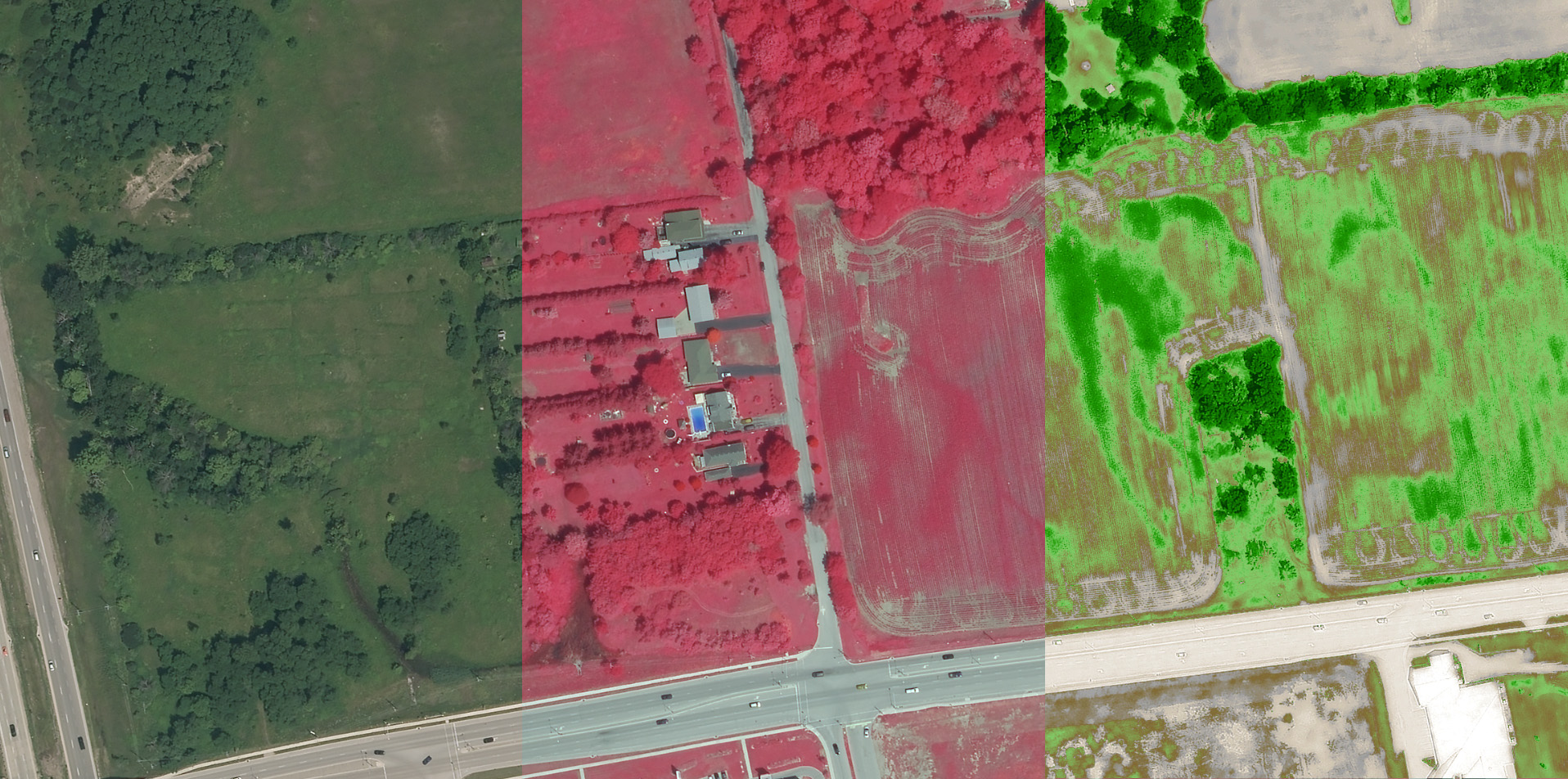
Aeroquest Mapcon was contracted to provide 4-band orthophotography for a tree canopy survey covering 423 km². Image showing natural color, near infra red, and normalized difference vegetation index (NDVI).
15 cm natural color and near infra red
New tree canopy collection in 3D softcopy environment
Classification of 25,579 predetermined sample points of tree status (live, dead, none)